TOP ROW
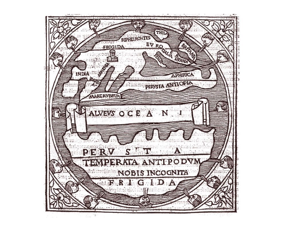
01. from a Parisian edition of the works of Macrobius
(Ambrosius Aurelius Theodosius) showing a schematic representation
of the World in just two continents - with the North Lands separated
from the South lands by OCEAN..
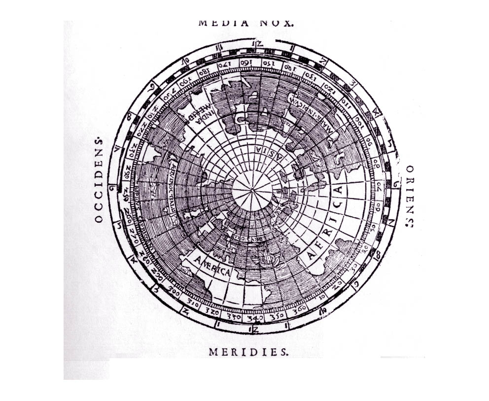
02. An early circular map, from Apian's Cosmographicus
Liber (1524).
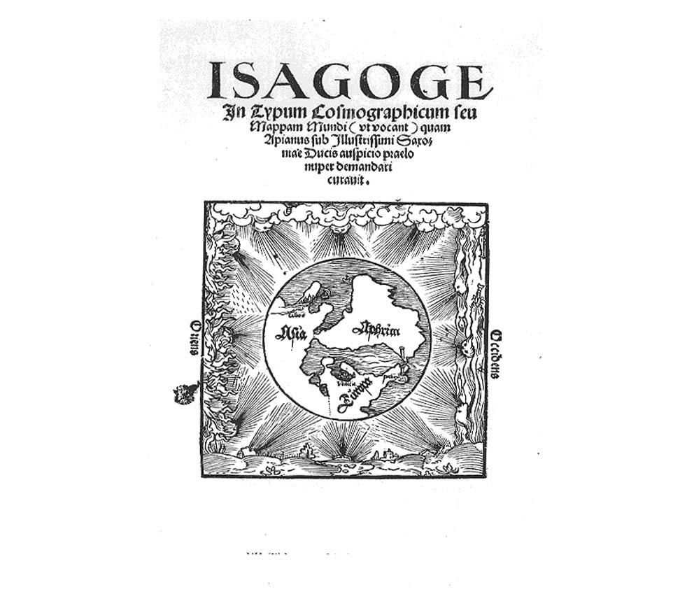
03. In 1520 Peter Apian published an account of his own Mappamunde,
and this is the titlepage.
BOTTOM ROW
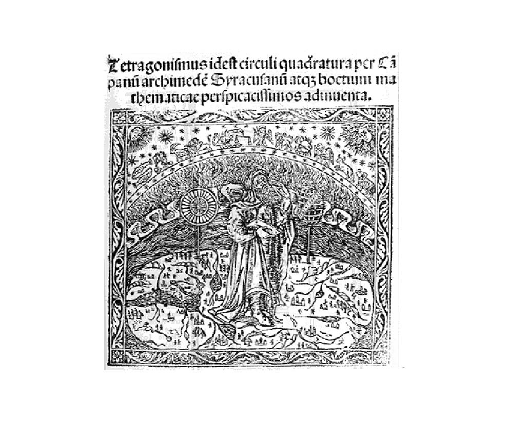
01. L. Gauricus Ed.) The Collected Works of Archimedes
and Boethius, Sessa, Venice, 1503. The figure of Archimedes
gazing to the zodiacal symbols, bestrides a flat earth surrounded
by water and other symbols of the Four Elements.
back
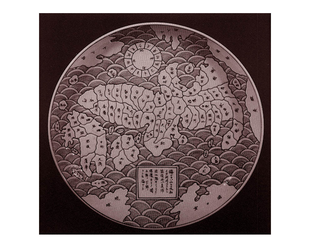
02.A map of Japan printed on a plate, c1845.
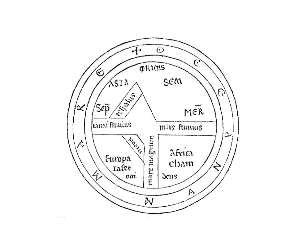
03. the simplest possible representation of the known world,
this is only the second mappemunde to appear in a printed book,
in c1473 in the Works of Isidore of Seville .