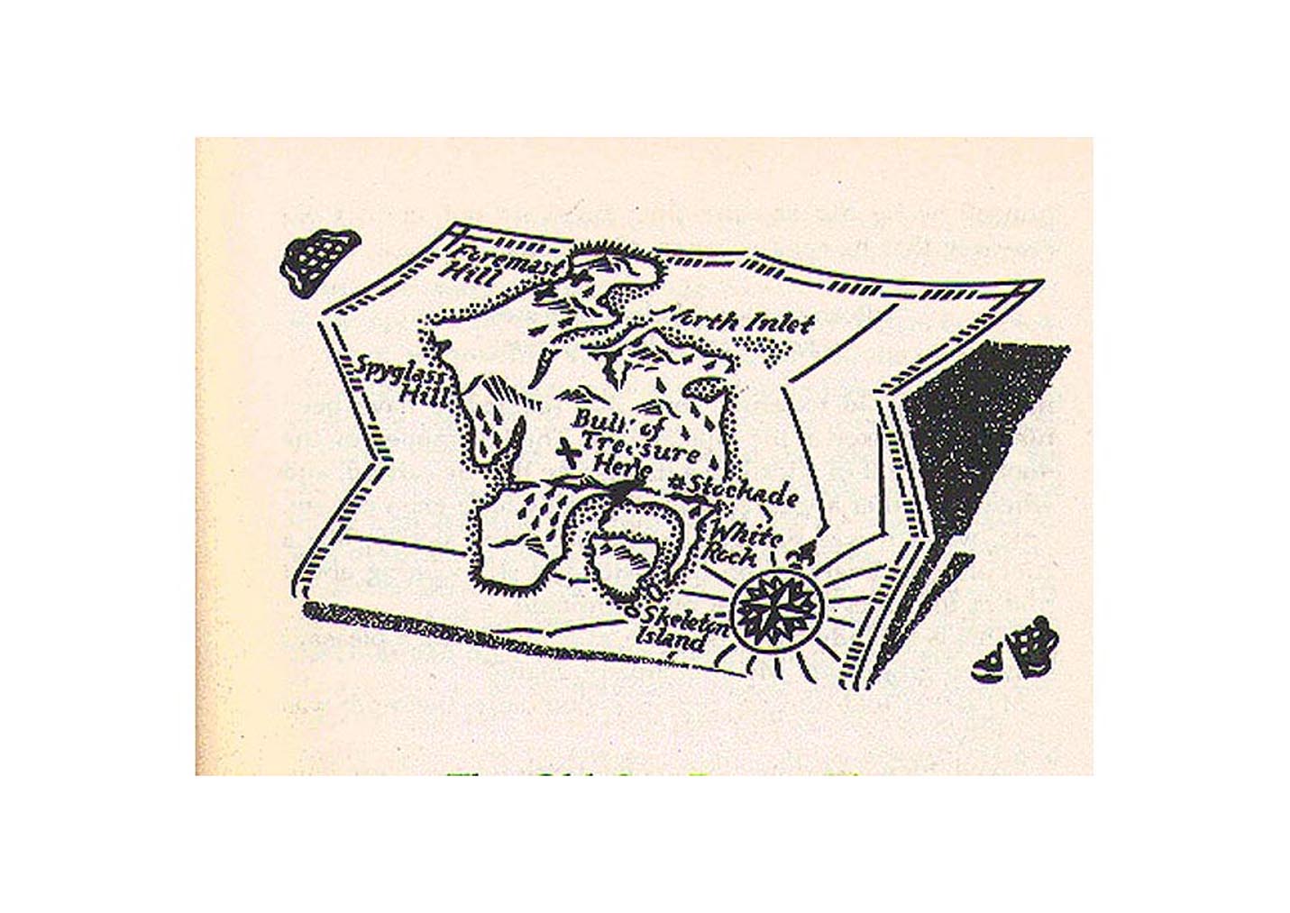
01 map included in the Cassell edition London c1905, 20.5 x 14 cms.
02 from George Hardie's illustrations to Treasure Island , Armada London
1989, paperback, detail 10 x 7 cms
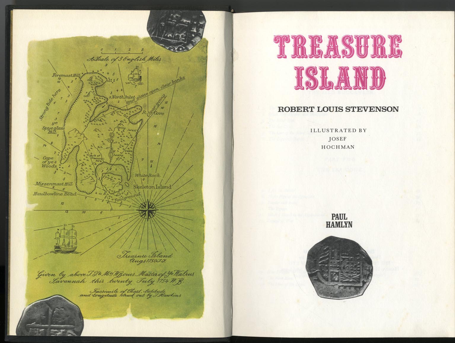
03 Map as frontispiece in the Josef Hochman illustrated edition produced
in Czechoslovakia, and published in Britain by Hamlyn in 1967. 24 x 16
cms.
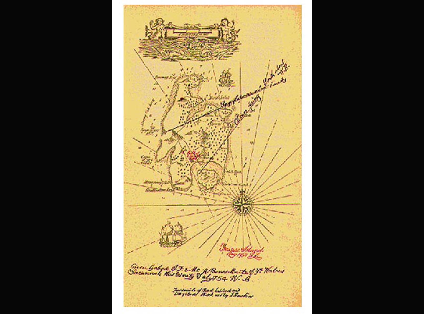
04 Map included in the Eyre and Spottiswoode edition, illustrated by
Mervyn Peake, 1949, virtually copied from the above but with significant
changes, 22 x 14.5 cms.
 EDWARD WILSON MAP EDWARD WILSON MAP
|